


Whether it's mini satellites bringing mobile phone signals to far flung places of the world, or your very own SunCube for $1,000, increased and affordable access to Earth observation hardware is providing businesses and governments alike, the ability to monitor natural disasters in almost real time or continue to make the world a more connected and data rich place.
Whilst that might sound cool and perhaps reignite the little space cadet within you, I'd like to take you back. The space race. That cold war rivalry between two economic powers, trying to out do one another and create ideological superioty. And, from that competition resulted great technologies that have transformed communication, education, and research and development accross the globe. However, whilst the International Space Station, weather satellites and more can be attributed to the valiant effort of both countries demonstrating their post-war prowess, the modern day space race is not between governments, but global business leaders. In 2016, the global space economy totalled $329bn with the majority of that funding originating from commercial activity – not governments. And, as satellites are becoming cheaper to build, many businesses are seeing an opportunity to create something truly transformative for our everyday lives.
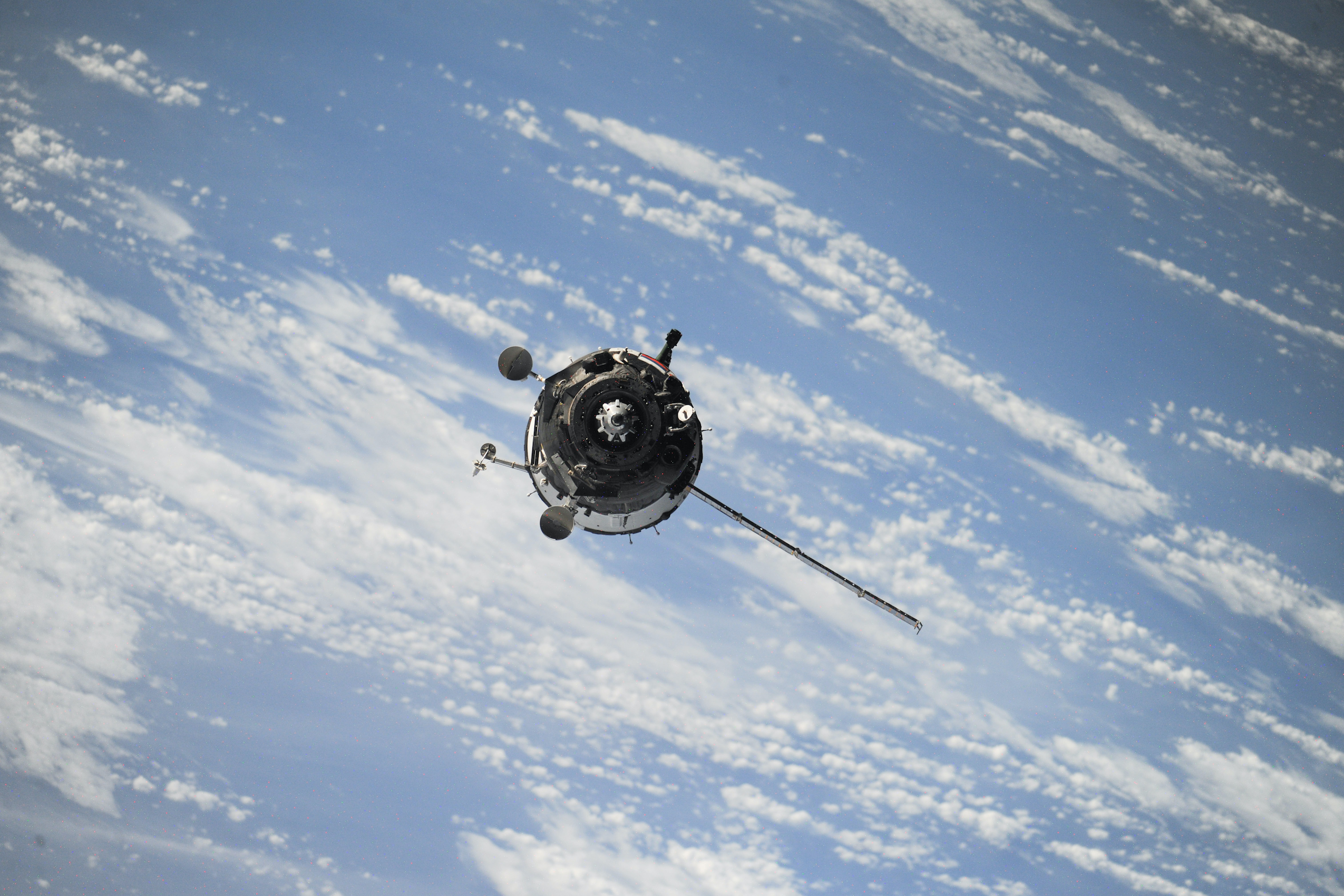
One company in particular has managed to develop afforadable satellites which uses technology to monitor the Earth, day and night, cloudy or clear, 24/7. ICEYE, who joined the portfolio in May 18, takes Synthetic-aperture radar (SAR) technology within its cluster of nimble satellites, to observe the earth's surface. Whilst SAR isn't a new development, the affordability and the access ICEYE is providing to governments and organisations around the world with its reliable imaging technology, is its uniqueness.
We caught up with CEO Rafal Modrzewski to discuss how ICEYE is affordably transforming earth observation.
Could you explain in non-techie terms, what ICEYE’s technology is and how it will benefit our understanding of the Earth?
It is an understatement to say that planet Earth is large. It is huge. To be able to image any one location from space, you have to have a satellite flying over that area. If you want to image a specific location many times per day, such as a city, a port or a border crossing, that is simply not possible with a low amount of satellites - you need a large constellation of satellites.
ICEYE is aiming to provide satellite imaging from every square meter of Earth, updated every single hour. To do this, there is one more massive issue in imaging individual locations many times a day that ICEYE is tackling. As difficult as it is to have an individual satellite flying over your area, roughly speaking 75% of those times there’s either cloud cover or the dark of the night making typical optical satellite imagery unusable. ICEYE’s technology, Synthetic-aperture radar (SAR) makes it possible to image through clouds and even in the night. This technology has been around for long, but it has been extremely expensive to create (hundreds of millions of dollars for individual satellites). ICEYE has dropped that unit cost to the single-digit-millions by making the satellites smaller and by utilizing the newest possible technology development opportunities.
With these capabilities, organisations and governments can now get reliable imaging from their locations of interest many times a day consistently, which was never before possible due to the lack of a sufficient amount of these SAR satellites. This ability brings completely new possibilities of applying this information for industries such as finance, agriculture, maritime, disaster response and many, many more.
How do you think your satellite solution will affect people’s everyday lives?
ICEYE's radar satellite constellation enables customers to actively see and measure changes that happen on land and at sea multiple times each day. Day and night, regardless of cloud cover. Being able to detect changes so quickly brings great value to individuals tackling some of the world’s toughest large scale problems, as well as entire industries, that rely on understanding and reacting to trends of human activity. ICEYE provides actionable information such as when did the harvest start for individual agricultural fields, what areas are affected by a flood as the natural catastrophe is still ongoing, how many ships are moving across all ports in Europe, and many more active streams of information from specific locations.
It could be said that just as bringing personal computers on to our desks revolutionized how information is used, ICEYE aims to bring Earth observation data into the hands of those who have never before had access to it. Bringing this data and information to the masses, as well as making it available at any time, will present endless opportunities for innovation and greatly impact people’s lives.
How do you see yourself growing over the next 10 years? What could you achieve?
Every square meter on Earth, imaged every single hour. ICEYE will be providing data streams into what is happening on land and at sea, what has happened before, and predictions based on previous trends on what will happen next. ICEYE is creating something that has never before existed, and what is its impact is ultimately decided by how much good others will be able to do with that information. We are thrilled to tackle the challenges ahead of us to be able to enable others to make better decisions.
In the short term, our goal is to have at least 18 satellites in the constellation by the end of 2020. This amount is enough to provide images of any point on Earth every three hours on average. The quality and frequency of our service level is more important of a goal to us than a hard number of satellites, as it is the most relevant item to our customers. The constellation gets built in stages as we add capacity an individual unit at a time.
What hurdles have you faced? And, how did you overcome them?
As with any satellite company, successful and timely launches tend to be a shared challenge in the industry, as there are so many moving parts. We were fortunate enough to have seen such a total success in our first mission with ICEYE-X1 and to have surpassed all of the milestones we set, such as receiving 600+ images from such an early stage satellite.
The more unique challenge to ICEYE is to continue to improve and ramp-up the development of our SAR technology. We have extremely talented engineers creating this technology. It’s not an easy feat putting this type of instrumentation on a satellite under 100kg, as they are typically more than 10 times the size of our system. While we have been successful, the complexity and speed at which we develop our systems will always be hard, and we’re extremely happy to take that challenge on.
Your offering is so unique, could you give some advice to entrepreneurs who have an offering which some might say is difficult to communicate to investors?
Show, don’t tell.
A very large number of very talented, educated and experienced experts told us early on very directly that miniaturizing SAR satellites was not going to work. What has been at the core of ICEYE right from the start has been that the goals that we’ve set have been achieved, and that our teams have continued to constantly learn in each stage of our journey. ICEYE’s worldleading engineers were able to demonstrate very early on that the hardware we were creating was both feasible and working, and we are extremely proud of their achievement.